Map of France

Les Fourgs photos


Find a town, a zip code,
a department, a region... in France
I like Map-France.com !


Les Fourgs pictures


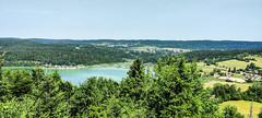
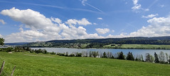
Here are the photos of the town of Les Fourgs and nearby towns. Les Fourgs is located in the department of Doubs in the region of Franche-Comté. You will find the satellite map of Les Fourgs under these photos.

To see photos of nearby towns of Les Fourgs, you can try the following links :
   - Photos of Montperreux (25160) : town located at 4.63 km
   - Photos of La Cluse-et-Mijoux (25300) : town located at 5.19 km
   - Photos of Les Hôpitaux-Vieux (25370) : town located at 5.42 km
   - Photos of Oye-et-Pallet (25160) : town located at 5.48 km
   - Photos of Touillon-et-Loutelet (25370) : town located at 6.11 km
   - Photos of Les Hôpitaux-Neufs (25370) : town located at 6.69 km
   - Photos of Les Grangettes (25160) : town located at 6.85 km
   - Photos of Verrières-de-Joux (25300) : town located at 7.80 km
   - Photos of Saint-Point-Lac (25160) : town located at 7.89 km
   - Photos of Métabief (25370) : town located at 7.91 km
   - Photos of Saint-Antoine (25370) : town located at 8.05 km
   - Photos of Jougne (25370) : town located at 8.15 km

 - photos of the department prefecture of Doubs : photos of Besançon
 - pictures of others cities of Doubs : Doubs


To see Les Fourgs from the sky, here is the satellite map of the town of Les Fourgs : Les Fourgs map.

I like Les Fourgs !


Photos of the town of Les Fourgs

These photos taken near the town of Les Fourgs can be shown in full screen clicking on the thumbnails. Photos are copyrighted by their owners.

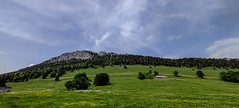
Aiguilles de Baulmes - Photo of Les Fourgs
Aiguilles de Baulmes

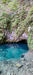
Source bleue, Montperreux - Photo of Les Fourgs
Source bleue, Montperreux

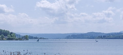
Sailing in Malbuisson - Photo of Les Fourgs
Sailing in Malbuisson

Sailing in Malbuisson - Photo of Les Fourgs
Sailing in Malbuisson

Trail running on the Larmont - Photo of Les Fourgs
Trail running on the Larmont

Trail running on the Larmont - Photo of Les Fourgs
Trail running on the Larmont

Trail running on the Larmont - Photo of Les Fourgs
Trail running on the Larmont

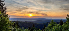
Sunset from the Larmont - Photo of Les Fourgs
Sunset from the Larmont

Sunset from the Larmont - Photo of Les Fourgs
Sunset from the Larmont

Sunset from the Larmont - Photo of Les Fourgs
Sunset from the Larmont

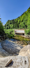
Bridge to St Point Lac - Photo of Les Fourgs
Bridge to St Point Lac

Trail running on the Larmont - Photo of Les Fourgs
Trail running on the Larmont

Trail running around Pontarlier - Photo of Les Fourgs
Trail running around Pontarlier

Trail running around Pontarlier - Photo of Les Fourgs
Trail running around Pontarlier


Les Fourgs from the sky


Old photos of the town of Les Fourgs

These photos taken near the town of Les Fourgs can be shown in full screen clicking on the thumbnails. Photos are copyrighted by their owners.


Other maps, hotels and towns in france


Find another town, zip code, department, region, ...


Quick links Les Fourgs :


Back to the menus Map of France :


Make a link to this page of Les Fourgs with the following code :


Map of France | Regions | Departments | Cities | Partners | Terms | Contact